Monday
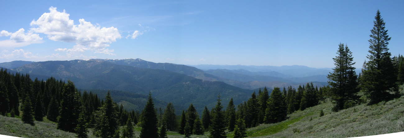
Somewhat recovered from Saturday night’s debauch, we took on a little harder hike Monday, the Wagner Butte trail just west of Ashland. It’s about 9 miles and 3,500 feet of elevation gain, but rewards at the end with a panoramic view north to Medford, east to Ashland and south to California and Mt. Shasta. This is the third year we’ve done this hike, and it’s a little bit different each year.
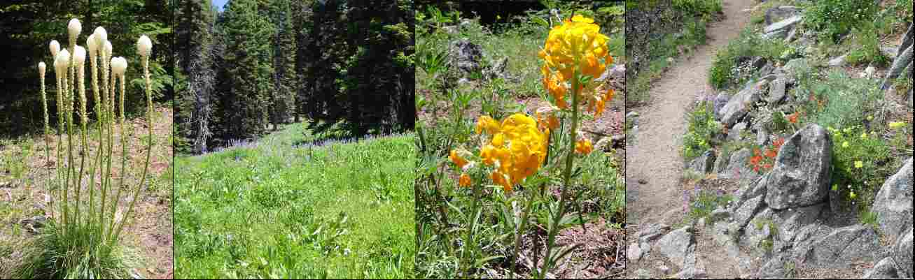
At this time of year there are a ton of wildflowers on this hike, depending on the elevation band, including a form of bear grass, lupine meadows and sere pastures of paintbrush and blue poppies.
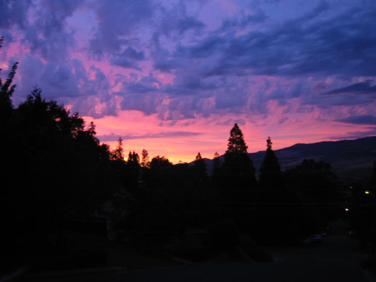
Clouds started moving in as we descended, and delivered a memorable sunset when we returned to town.