Archive for the ‘Outdoor Adventures’ Category.

If you’re here looking for the promised Cascade Pass photos…

Reposting from Facebook, I stupidly left my camera on the car roof and drove away from the trailhead.  Lost lots of lovely photos, and a damn good camera.  Holding out slim hopes that someone found it and returned it.  Sarah, our interpreter Ranger, has put out an APB on the Parks Service lost & found network:

Just back from a sweet, too-short foray into the North Cascades. Yesterday we hiked to Cascade Pass, interpreted by our favorite Rangerette, Sarah Krueger. A nice young couple accompanied us, and we had great conversation all the way to the top (3.7 miles in, 2000′ elevation gain over a nicely-designed and maintained trail.

Reserved a room for last night in Mazama, and met up with our son Andrew Philbin, who served us dinner at Old Schoolhouse Brewery. Met up with him this morning for breakfast at Mazama Store. Turned out he was headed up to the mountains to scout out some bouldering territory, and we followed him up and hiked a much steeper and less groomed trail. Fortunately, he was burdened with a large bouldering crash pad, and we could keep him within visual contact. It was worth the effort, had lovely views and espied a young pine marten, who sat for the longest time observing us intently. Hiked back down, grabbing handfuls of ripe huckleberries as we descended.

Our hike today ameliorated two unfortunate, and expensive, events: yesterday at the trailhead, I set my Canon SX1-IS on the roof of my car, and drove off. I heard a “clunk”, but didn’t realize what it was until I was inventorying my gear last night; and, this morning, backing out of our lodging and striking a tree, damaging my wheel rim and requiring that I drive all the way home on my spare (Les Schwab stores are closed on Sunday). Made it safely, and have great memories despite spending $1500 in 36 hours.

Rattled

I’m now at the age where “He lived a full life!” will roll glibly from the lips of my survivors, and as my shade ascends, descends or simply hangs in the viewing room like a bad smell, it won’t really have reason to protest.  Such high philosophy is noticeably absent when incidents occur on this side of the Great Divide such as the one on our hike on Friday.

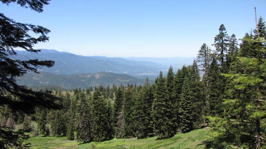
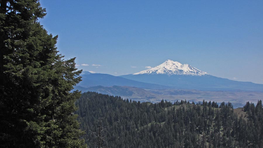
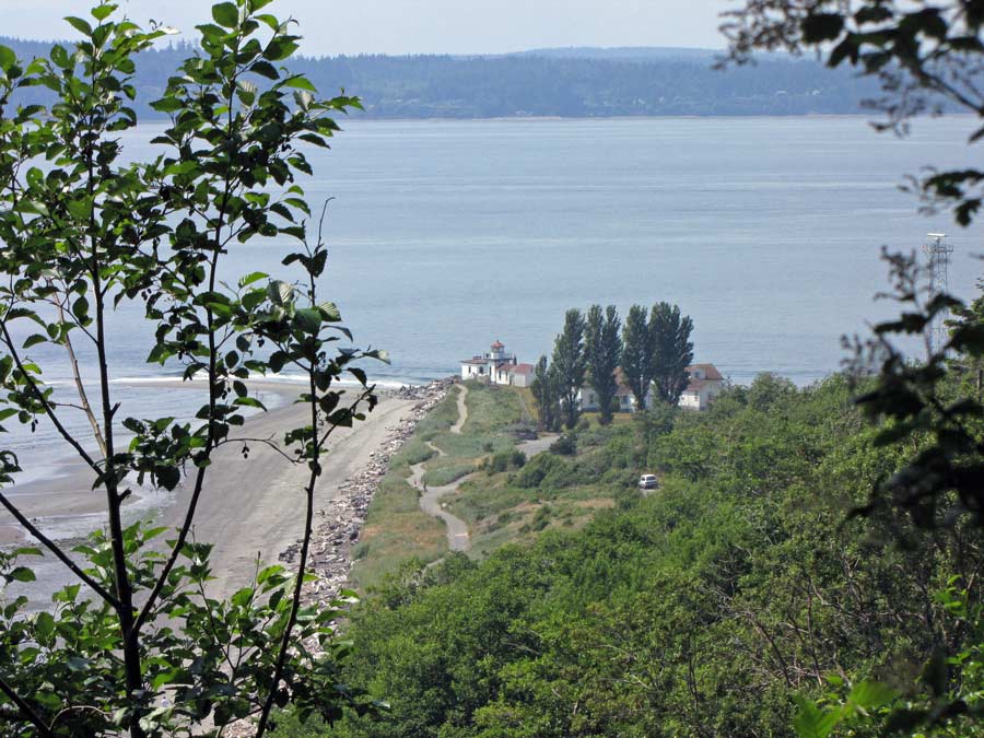
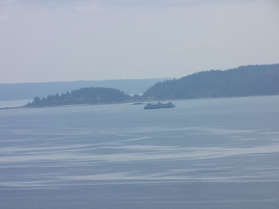
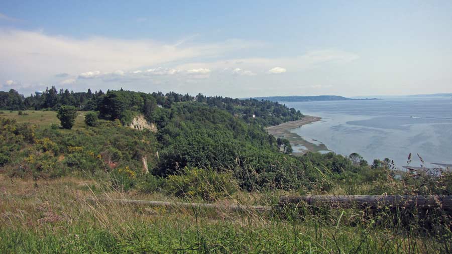
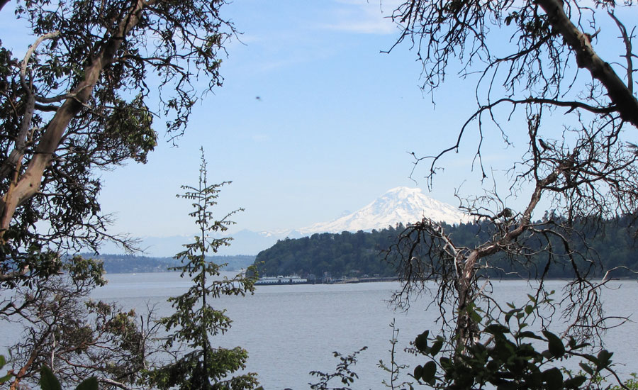
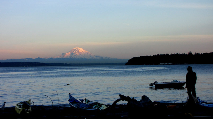
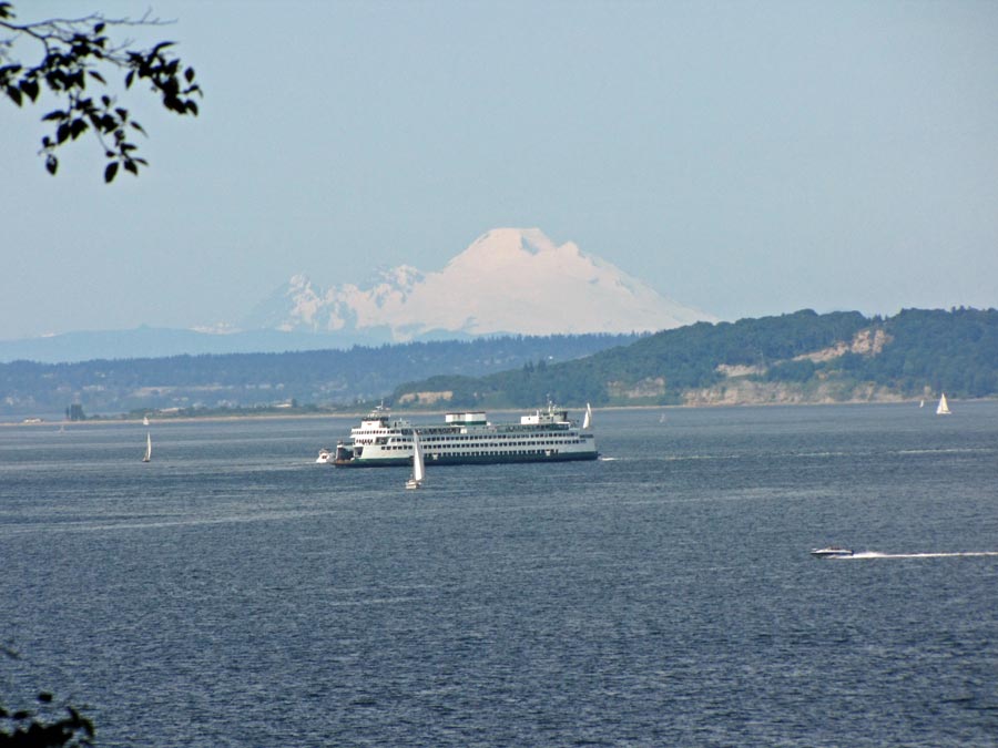
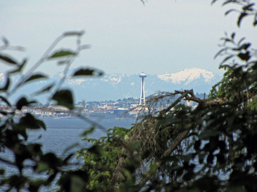
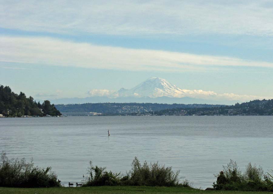
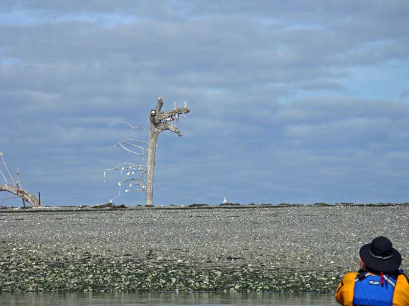
We were walking a section of the Pacific Crest Trail in what is now the Soda Mountain Wilderness (thank you, Bill Clinton, for your 9th-inning National Monument designations) just southeast of Ashland that we’ve been on many times.  It winds through mature second-growth forest, breaking out into slide areas that afford gorgeous views, either west towards Ashland and Siskiyou Pass, or southeast to Mt. Shasta.

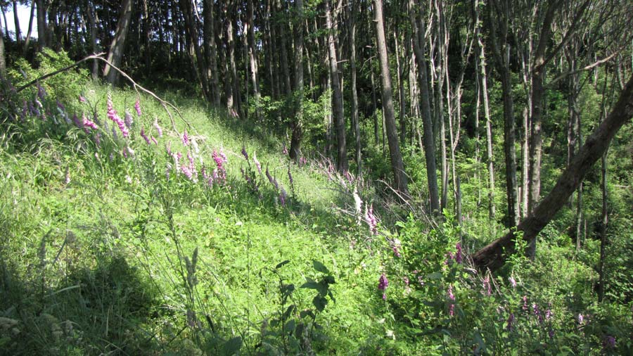
Due to heavy winter snows and below-normal temperatures throughout the spring (sound familiar?), nature is somewhat behind schedule, and we’ve been seeing wildflowers on our hikes that are usually burnt out and gone by the time we get here, and things everywhere are lush and green instead of the more accustomed brown and sere, and we were literally reveling in every step.

Until this one step.  The one with my right foot as I was leading us on the trail through moderate underbrush.  About a quarter-mile before, we’d flushed a pair of grouse, and been startled at the loud, low vibration of their wingbeat, so we were on alert as we proceeded the rest of the way through the meadow.

So when I heard a vibration and scuffle on that fateful footfall*, I wondered for a second if I’d disturbed a grousing grouse*.  Two more strides, and I heard Mrs. Perils’ maidenly exclamation…”holy fucking shit!“, I believe it was…as she leapt up onto a log well off the trail.  What she had seen was a western diamondback rattlesnake, about 1 1/2″ to 2″ in diameter and at least 4 feet long, just to the right of the trail where I had stepped.

We were both pretty shaken, and as we proceeded each ensuing step was as fearful as they had been euphoric before. We froze at every rustle in the undergrowth.  As I had on countless other hikes, I turned to Mrs. Perils and assured her, “It is only the wind, Gretel!”

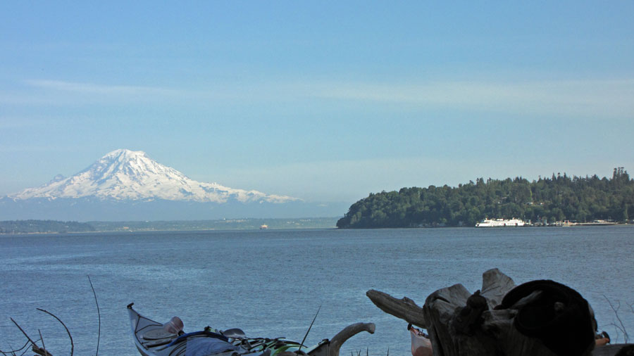
We tried to remember what the current procedures were for dealing with a snake bite.  Back in the 70s, we’d been sold snakebite kits that had razor blades and suction devices for draining venom; we knew that this treatment had been discredited, but were fuzzy about current best practices.  We got to a clearing with a sumptuous view of Mt. Shasta, but our enjoyment was muted.  We had a cell phone signal, so we made our one Lifeline call to a client of mine whom I knew liked to search the internet, and he pretty much confirmed what we thought we had remembered: immobilize the limb, keep the bite below your heart, no tourniquet, etc.  Oh, and call 911.

Our hike was not on a loop trail, it was an out-and-back, so we would have to walk past that spot again on the way back to the car, which was 3 - 4 miles beyond it.  Rescue would have been a major undertaking.  (did I really say “undertaking”?).  We walked on about another mile or so, hoping that, given time, our reptilian interlocutor would decide to move to a different snack bar.  Ultimately, though, we had to turn around and head back. We found a couple of sticks to brandish, and walked warily.  We didn’t know exactly where the encounter had taken place, but knew the general vicinity, and tapped our sticks ahead like blind people as we walked through.

Once we knew for certain we were past the spot, we built up an absurd sense of euphoria the rest of the way, as if we had a map that showed for certain we’d passed the lair of the only dragon in the forest.

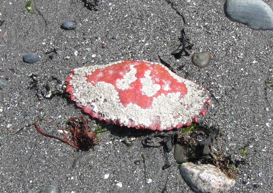
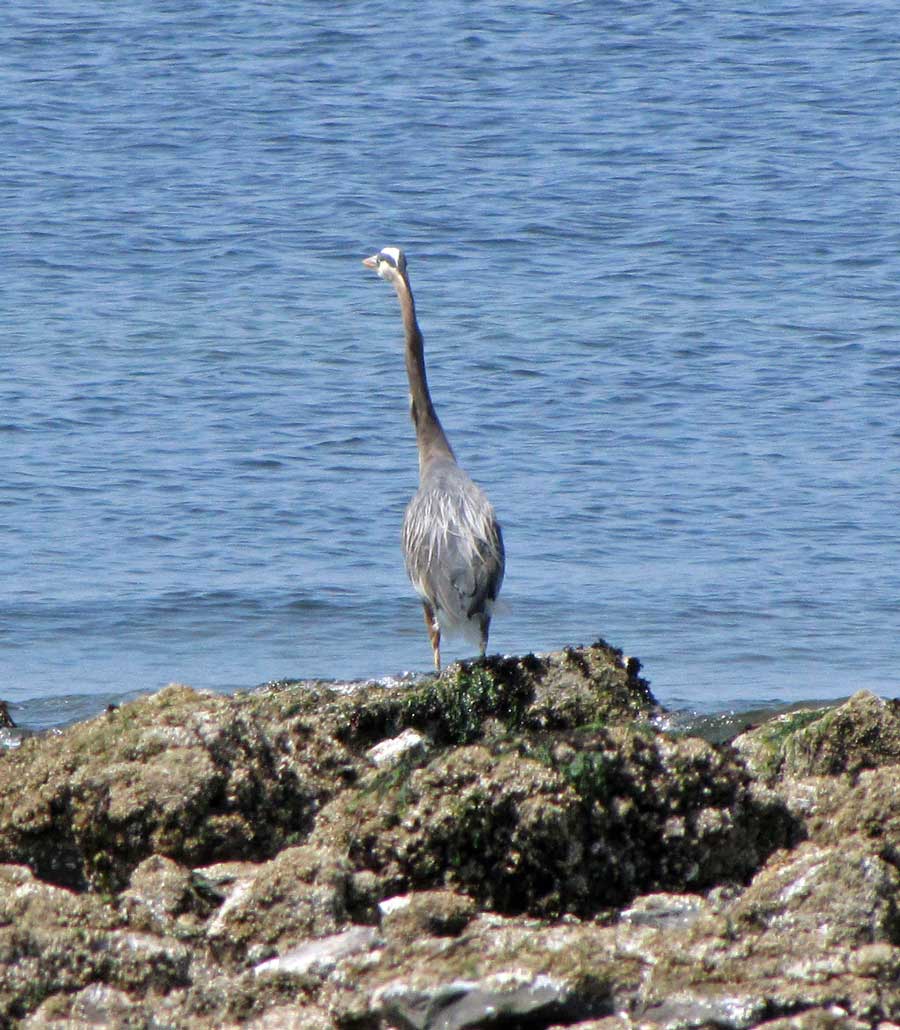
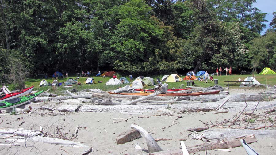
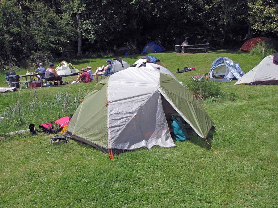
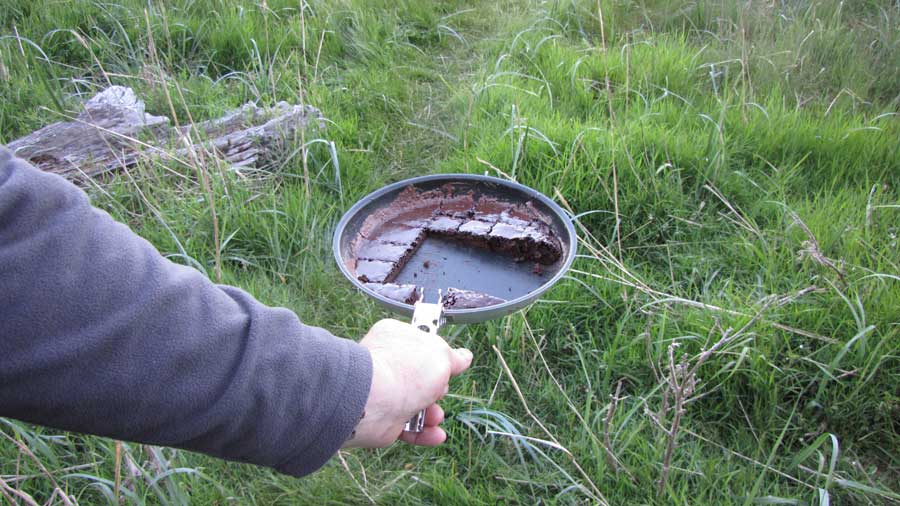
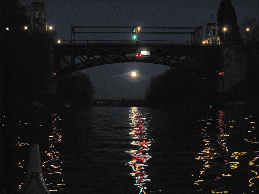
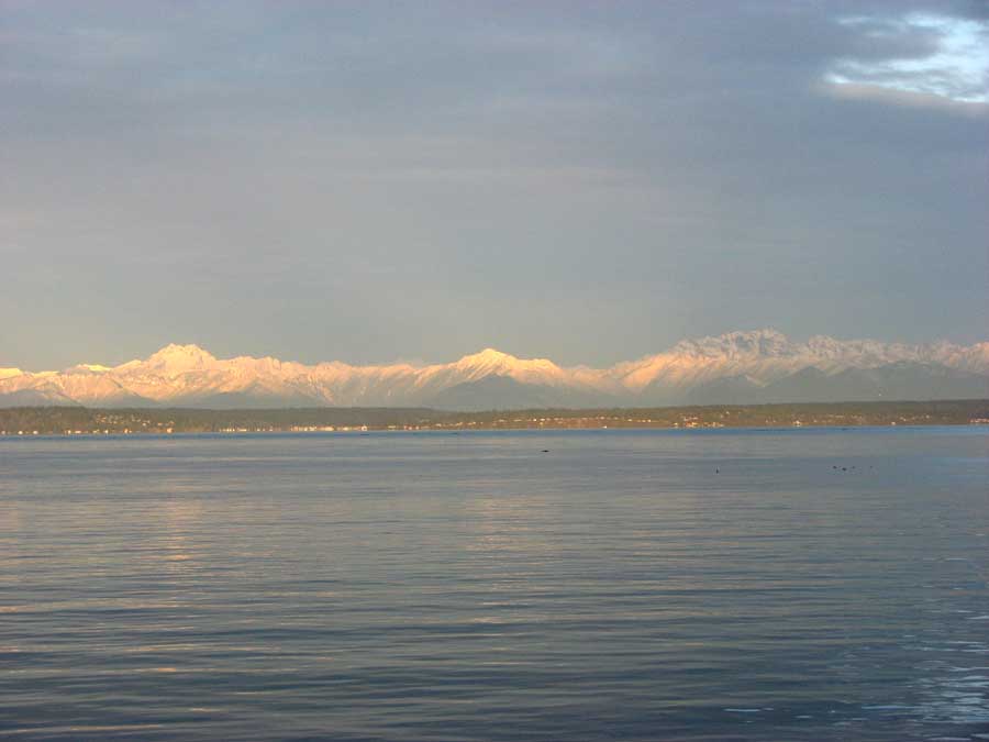
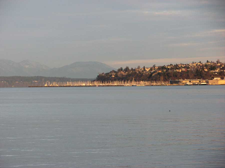
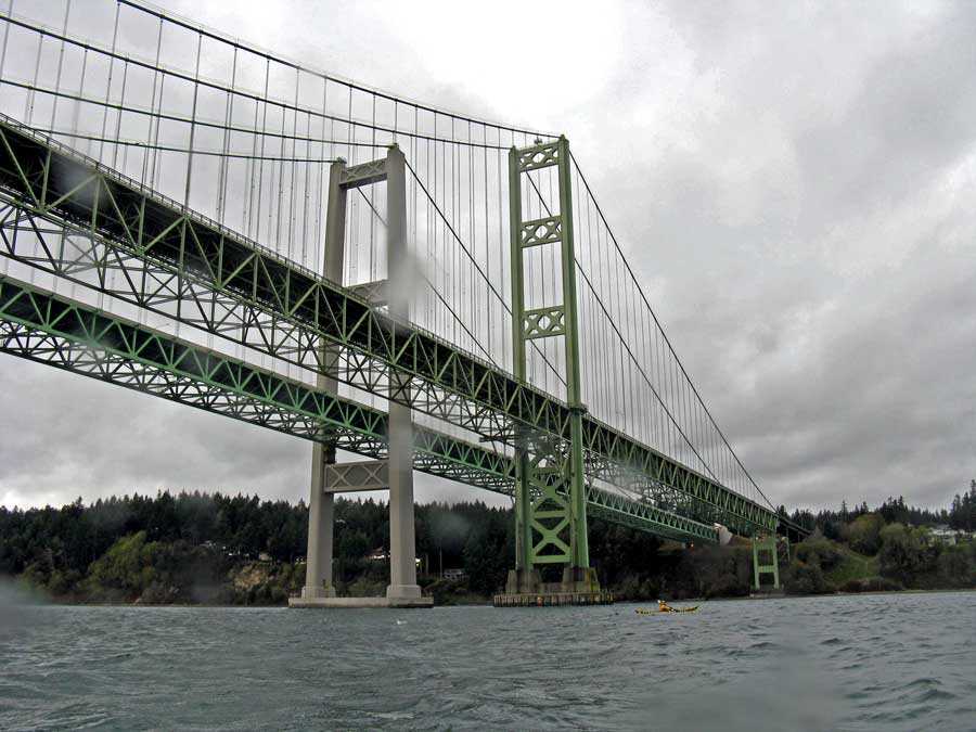
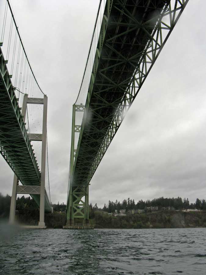
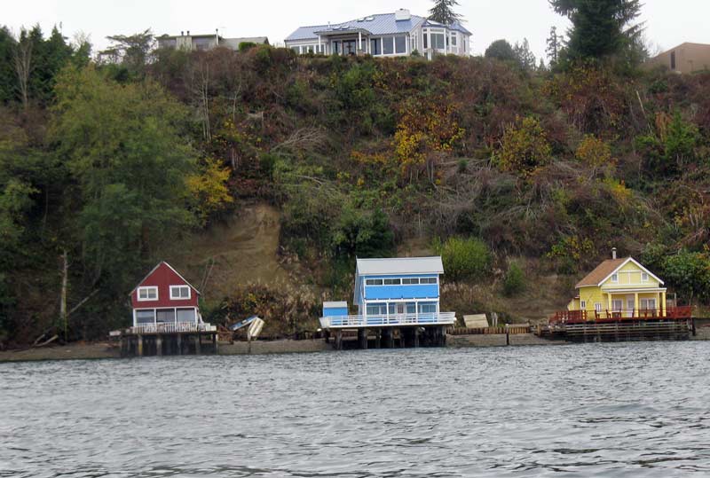
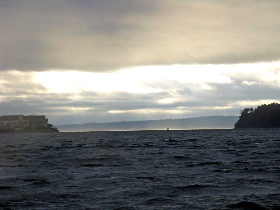
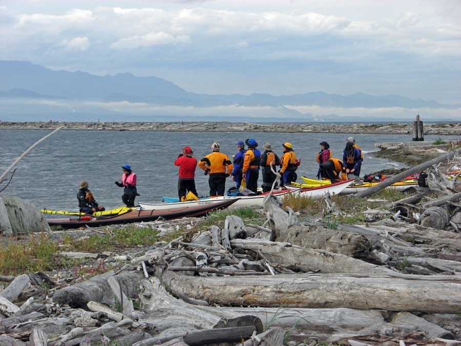
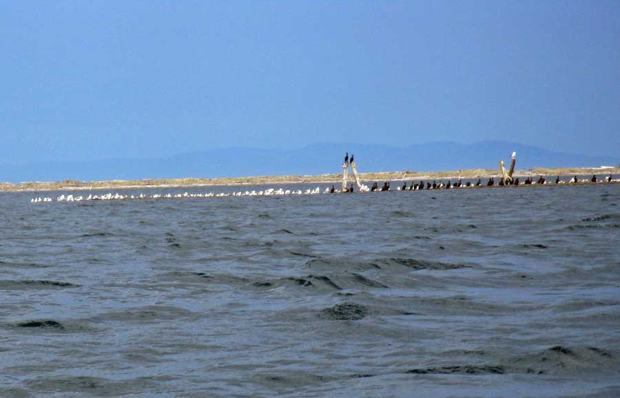
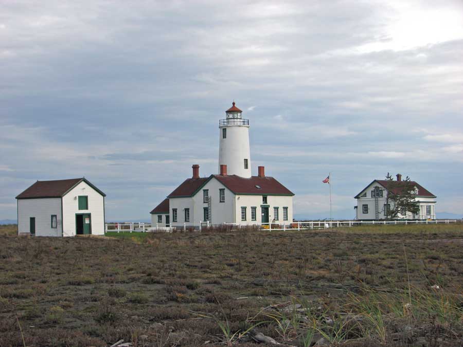
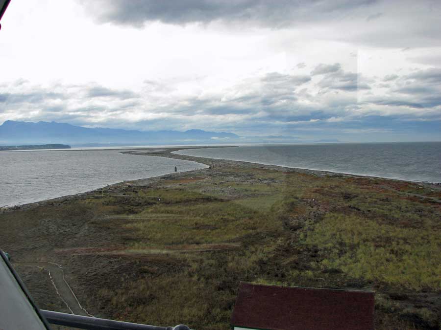
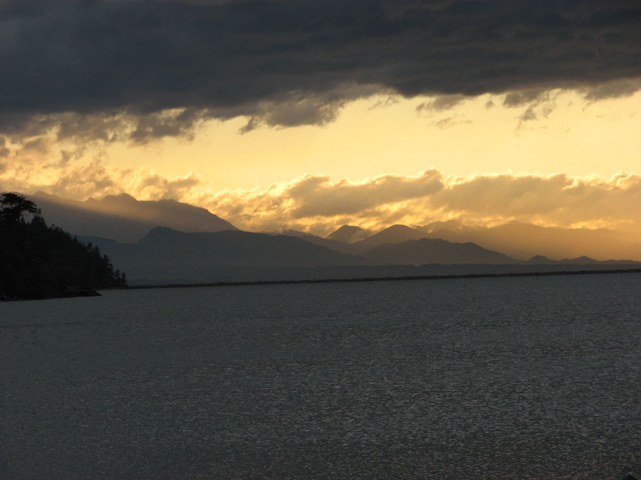
Here are some photos to show why a person would undertake (there it is again) a stroll into the forest (click image to enlarge):

More photos in a gallery here.

* I know I can write stuff like this because I’ve read some Barth recently

Afternoon Delight

Another blogging deadzone this week, with lotsa work and some social obligations. I managed to squeeze in a weight workout session last night at a gym up the street, and tonight (Thursday) I retrieved my bike from my client’s file storage closet and headed out on the prairie for a nice 20-mile ride on a pretty midwestern pre-solstice evening.

I have some photos from last week that I’ve been meaning to post. On Thursday last, anticipating my travel-shortened weekend, I played a little hooky in the afternoon, and enticed Mrs. Perils to venture across town to a lovely in-city wilderness, Discovery Park.

THere’s a loop trail that, in 3 - 4 miles of hiking, takes you through varied terrain - forest, salt-water beach, high bluffs  overlooking the Sound.  Below are some beach pics (click any photo to enlarge):

From the beach, the trail heads up through forest to a sandy bluff with a commanding view of Puget Sound. I love foxglove, and was really pleased to see a patch of them on the upclimb (photo on left). Next from left is a view of the West Point lighthouse, around which we’d just walked, with an exceptionally low tide; the next is a ferry crossing the south end of Bainbridge Island (the day was a little hazy at times); and the pic on the right looks south towards downtown Seattle.

I get a kick sometimes out of the graphics on warning signs:

Friday now, and I’m posting from the Minneapolis airport, so I think I’ll upload this and start on a new one, which I may not get to post before my 9:45 flight home to Seattle.

Summer Camp

Last weekend I hooked up with one of my kayak clubs and paddled across Puget Sound to camp out on Blake Island, a marine state park accessible only by private boat. The weather was simply stunning - clear, warm, perfect. This was the first time that I’ve loaded this boat (a Current Designs Gulfstream II) for camping, and I wasn’t sure whether it would hold all the gear I wanted to take. I have two other kayaks that are a little more capacious, but this is the boat I want to paddle in almost all cases. Everything fit fine (lower left), and the boat handled well despite the load.  GPS track of the trip across here.

I think we ended up with nearly 30 in our group at the camp area. We all came from different directions around the Sound, so we didn’t all arrive in one ravening horde. A puzzling bit: out of all these campers, I don’t believe any two tents were alike. I brought along a brand new tent (lower right) which we’d bought at an auction a couple of months ago. You’d think I’d at least set it up once at home just to see if all the parts were there. But, no, the first time it came out of its bag was right there on the campsite. Happily, it wasn’t dark or rainy or both, and I was able to puzzle out pole insertions, rain fly positioning, etc. (Click photos to enlarge):

It’s cool to be able to launch from the city, paddle a short 4 1/2 miles and feel like you’ve flown off to paradise. I got way too carried away photographing Mount Rainier, fully visible from the campsite:

I actually tore my eyes away from Rainier to check out some other sights. There are trails on the island, and it’s about a 3-mile hike to go completely around it. Below are photos of Mount Baker, another volcano north of Seattle near the Canadian border, and a glimpse of the Seattle skyline available on the north side of the island:

I didn’t carry a stove with me, and had to be content grazing on cold and sorta boring food like salami, string cheese and pretzels. I did stow a bottle of chardonnay to wash them down with, though. Others with more camping experience prepared more scrumptious stuff, including a guy who baked brownies in a little enclosure that sat atop his little stove. And one guy with a double kayak left his wife at home and filled the hatch she would otherwise occupy with a loaded cooler:

Slide show with more pics here.

LunaSea Kayaking

Last night was a full moon here in Seattle, and a few of my kayak buddies and I thought it would be cool to observe it from our boats. In a major upset, the evening was almost crystal clear - temps in the 20s, but little to no wind. We launched near Gasworks Park on Lake Union and paddled towards the University of Washington.

As we turned into the Montlake Cut, the moon revealed itself gloriously, making a river of light on the water and a silhouette of the Montlake Bridge in the air (Click to enlarge):

Usually the Cut - a short canal connecting Lake Union with Lake Washington - is rocking and rolling with motorboat wake, but last night it was our private reflecting pool.  We paddled through it and into a bayou-like area near the Arboretum.  There we consternated several herons, who squawked and took to ungainly flight, as well as several beaver, who slapped their tails on the surface of the water to show their displeasure.

We stayed pleasantly warm despite the water droplets from our paddles trying to freeze on our decks.  Visually, it could have been a balmy summer night.  GPS tale-o-the-tape here (which also includes the car trip down to the lake, due to user malfunction).

Bipolar Weekend

Had a sort of bipolar weekend. Saturday was full of vigorous outdoor activity, while Sunday found me lounging in bed reading until 10:30 (Gazelle, by Rikki Ducornet.  She’s the “Rikki” from the old Steely Dan song Rikki, Don’t Lose That Number.  From the jacket photo, I think I’d want her to remember my phone number, too)  Once upright (briefly), I slouched in front of my laptop surfing the net and doing my February billing. I never got out of my sweatpants Sunday, although I did wear them on a short bike ride down to the gym to do a Nautilus workout in the afternoon.

Here’s the view I had Saturday morning while waiting for my ferry ride westward across Puget Sound to kayak with a group near Port Townsend on the Olympic Peninsula.  The photo on the left is of the Olympic Mountains just as the sun rose above the Cascade Mountains at my back.  The photo on the left is take seconds later, and catches the same quality of rosy-fingered dawn glancing off the masts sequestered by the Elliott Bay Marina. (click photos to enlarge)

I forgot to bring my waterproof camera gear, so I don’t have any photos from the cockpit, but those photos from the ferry dock would have been the best of the day in any case. We launched in pretty good weather:

and, though it clouded up a bit, it never rained, and at this time of year that’s as much as you can hope for on a Saturday afternoon in February. We had a good “mileage” workout, paddling between 11 and 12 miles, against a current in both directions. Here’s the gps report, although my gps seems to have crapped out at the 10-mile point, probably due to user error.

Tacoma Narrows Kayaking

A long and uninspiring week.  Probably a product of backed-up work, post-holiday depression and the fact that it’s nearly dark by 4 o’clock.

I did get out for a decent kayak adventure last weekend (here’s the gps story).   We launched from a park just south of the Tacoma Narrows bridge, the “Galloping Gertie” of the famous film clip, in which the original 1940 bridge collapsed in the same year it was opened (further enlightment about Galloping Gertie here.)

We crossed the Narrows, paddled under the bridge, and made for the heretofore quaint village of Gig Harbor for lunch and beverages at The Tides cafe (click photos to enlarge):

As with most of the waterfront around Puget Sound, Gig Harbor has been gentrified, and has become something of a bedroom community - that’s why the Narrows Bridge is now a double-span (see above). This photo probably best conveys the dissonance between what waterfront living implied in the 40s, and what it implies now:

I’m sure if I owned the property at the top of the bluff, I would think life was just fine. And, actually, the properties below are probably more prone to have a failed septic tank and be contributing to the death of the Sound than the properties at the top.

The trip back to our launch point had us paddling into a fairly stiff wind which, playing against a variable current, made for some interesting paddling conditions. I’m getting to like paddling in semi-heavy wave conditions, but maybe I’m just being stupid.

As I neared the launch point, cloud cover to the south was breaking just enough to allow some exotic lighting.

Views like these keep these old bones launching themselves into the frigid salt.

Driving back to Seattle, I found myself lane-locked with a mini-van with a DVD player showing a movie to the passengers in the back. As we drove along, I found myself following the video, even though I didn’t have sound. It was sorta like watching a movie on a plane for which I didn’t want to buy the earphones. Except, in that instance, I’m not driving the plane.  Luckily, I disengaged and took control of the trip home

Kayaking Dungeness Spit

I welcomed November by getting up uncharacteristically early for a Saturday and heading to the Olympic Peninsula to kayak along the Dungeness Spit, a 5-mile-long sandspit that extends into the Strait of Juan de Fuca near Sequim. It’s a National Wildlife Refuge, and I’ve been wanting to paddle there for some time, but it’s a longish trip requiring a ferry ride.  One of my email paddle groups, South Sound Area Kayakers, had the trip on their schedule and provided an excuse for me to haul my butt out there.

Turns out it was a good thing I was in the company of experienced paddlers, because the wind kicked up from the northeast and sent 3′ - 4′ waves to bedevil us.  I’ve never been kayaking in wave action like that, and I actually found it exhilarating.  Paddling in it was more like rock climbing, as I watched the waves coming at me and picked where to sink my paddle.  On the trip back to the launch point, winds were gusting to 30 mph, and I had a tough time keeping my boat tracking on course as the wind came from the side.  At one point, I was almost pushed ashore, but I got myself pointed directly upwind away from shore and clawed my way back out to sea.

(Click any photo to engorge):

The spit was teeming with birds, including this rainbow assortment of species all taking advantage of this avian park-bench:

At the end of the spit, there’s a nifty lighthouse you can visit.  As with most lighthouses now, the Coast Guard doesn’t staff it - we encountered several folks who were members of the Lighthouse Keepers Association.  They were there for the week, giving tours and doing light maintenance (well, not maintaining the light, exactly - cutting grass, etc.).

Here’s a view of the spit looking south from the top of the lighthouse.  Those are the Olympic Mountains in the distance:

For all the unnerving weather we encountered, we were treated to a nice sunset at the launch point:

Here’s my GPS track for the trip (click on the “Larger Map” link for a better view).  I was thinking it might register a lot of elevation gain cuz of all the bobbing up and down I did, but it wisely registered 0.

And here’s a slide show with a lot more photos.

Salvage Operation

Winging my way to Milwaukee today, another weekend prematurely torn asunder by the arrival of the airport shuttle.  While Saturday began as a perfect fall day, I wanted to do nothing at 8:30 except quaff some more sleep.  I awoke at the awkward hour of 11:30, awkward because any hope of a grandiose kayak outing involving a drive or ferry ride was out of the question in the stinginess of these post-solstice afternoons.

I dithered away another couple of hours trying to figure out how to salvage the remains of my only weekend day when my son said he was thinking of going on a bike ride.  It never even crosses my mind to ride with him, as he’s hella strong, without an extra ounce of body fat and I’m … going on 59, remember?  But my sense of panic was galling me, and I asked him if I could go along, noting that the pace would have to be a bit leisurely.  He was surprisingly accommodating, and we decided to strike out for Seward Park and a spin along the shore of Lake Washington.

He was a gentleman about the pace, and I drafted him greedily.  It was chilly but sunny, and the lake and mountains in the distance made a pleasing backdrop.  I even took a couple of “pride” pulls at the front, and he genially dropped back and pretended to draft me.

Here’s a view of Mt. Rainier over Lake Washington from Seward Park (click to enlarge):

And here’s a picture of my son at Seward Park as he waits for me to quit gasping and bleeding out the ears:

I once again ginned up my GPS in order to chronicle the ride, a map of which can be seen here .

Up the Creek, Fersure, But With a Paddle

So, despite the economic gyrations of last week, I got out on an amiable kayak trip Saturday on Hood Canal, a ferry-ride west of Seattle. We’d been promised a weekend of Indigenous-People-Weather, and Manitou or whomever delivered nicely. I arose at an uncharacteristic hour for a Saturday (6:30) in order to secure my gear and boat to the car and drive to the Seattle-Bainbridge Island Ferry (click any photo to enlarge):

I hooked up with a group called the South Sound Kayakers. They tend to organize trips in areas south and west of where I usually paddle, and it helps me extend my range and paddle in new venues. Hood Canal, west of Seattle, separates the Kitsap Peninsula from the Olympic Peninsula. It is home to the Bangor submarine base (if you’ve seen Gene Hackman taking command of his submarine Alabama in a downpour in Crimson Tide, you’ve been there in spirit.

A little bit north of our launch point, there’s a sand spit where someone - sea sprites, witches, local devil-worshiping Democrats - maintains a driftwood evocation of a sea monster.

Now & then I paddle with people who have gone to the effort of building their kayaks from either a kit or a set of plans, and have been rewarded with a sweet-looking wooden boat. This boat, a Redfish kit, stood out from several others I’ve seen lately.

Wooden kayaks garner an inordinate amount of attention from both kayakers and landlubbers. A guy I paddled with a couple of weeks ago, who’s built a boat from the Pygmy company, observed that “if I were all about hooking up with middle-aged men, I’d have it made.”

It’s tempting to engage in a boat-building project, but I think my spare time is better-spent in getting the fuck out on the water with the boat I have.

It was a wonderful weekend. You never know around here when winter will arrive, so I’ll cleave to it while I can. More pictures from this Hood Canal trip here.