Thursday - Recreation
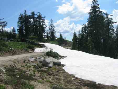 For our outing on Thursday, we picked a hike along a segment of the Pacific Crest Trail as it passes Mt. Ashland and veers south to the California border. Following the instructions in the book we were using, we dutifully followed the Forest Service road to a point about 3 miles from our starting point, and found it blocked by the patch of snow at right.
Since we’d tromped around in the Mt. Ashland area several times before, we knew that the PCT passed within a hundred feet or so of the snow patch, so we just parked the car, found the trail and hiked along it thinking to overlap our intended segment. We read that the PCT in this area is pretty much as good as it gets, but it’s an intriguing idea to put the laptop in storage some summer and hike the entire trail from the Mexican to the Canadian border.
While our car progress was stopped by one of the last remaining snow patches in the area, we turned back on the trail when perhaps the only thunderstorm in the area started raining on us. Since we’d already gone 4 or 5 miles, we were ready to turn back anyway. We noted no moisture anywhere else in the area.
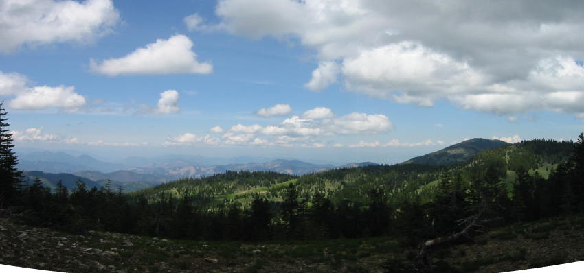
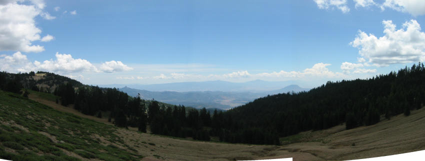
Sorry if the scenery “cheesecake” shots get boring and repetitive. We can’t get enough!