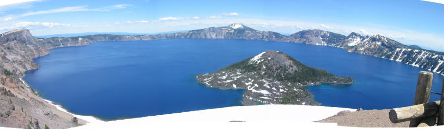
Friday - Crater Lake
We didn’t have a play to see on Friday, so we took our annual pilgrimage to Crater Lake National Park. The lake was formed when a 12, 000 ft volcano (Mt Rainier is 14,000) underwent a massive eruption, then collapsed about 7,700 years ago. The island to the left, Wizard Island, was formed later by continued lava activity.
The lake is so preternaturally blue because of its depth (1,943 feet) and because it has no streams flowing into it to bring silt and contaminants. It is replenished solely by precipitation. There is a road that circumnavigates the lake along the rim. For the last two years, the eastern portion of this road has been blocked by snow when we’ve been here. We’ve parked where the road is barricaded:
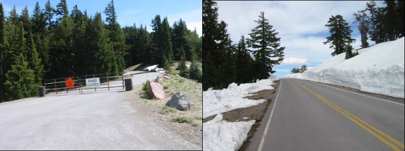
and used it as an asphalt hiking trail that we can have all to ourselves.
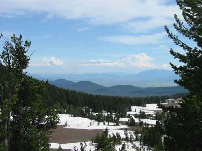
In the distance above is Klamath Lake, source of a major environmental battle between farmers in the area who want to divert its water for irrigation, and environmentalists and Indians who want sufficient water released into the Klamath River for salmon runs. As we drove through the area, it seemed like most of the area was used for grazing cattle, not growing crops, but I really haven’t done my research on the problem.
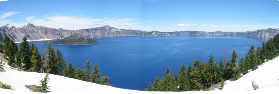
Can’t resist just one more: