We Sneak Out For A Friday Afternoon Stroll
The continued good weather here engendered more hooky-playing yesterday as Mrs. Perils and I took an “urban hike” over to Queen Anne Hill. It sits about halfway between us and downtown Seattle. At its top is a slightly bowl-like depression about 2 miles in diameter that provides a convenient hideaway for one of Seattle’s more self-aware and cohesive neighborhoods.
Traversing around its perimeter, one is afforded spectacular views - north/northeast, you get Lake Union and the Cascade Mountains, west you get Puget Sound and the Olympic Mountains, and south you get downtown Seattle and Mt. Rainier, if the weather’s right.
As always, click to enlarge any photo.
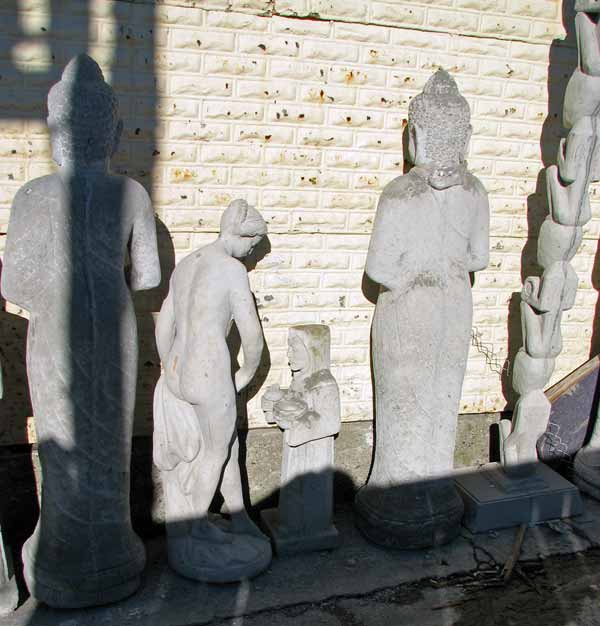
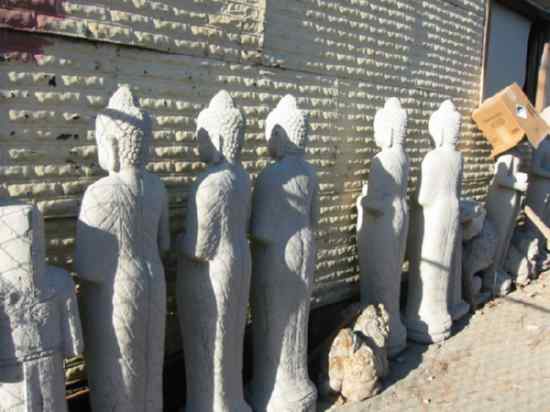
Our walk over there takes us down to the Fremont Bridge, across the Ship Canal and then steeply up to the top of Queen Anne hill. On the way to Fremont, an old favorite of ours had some new items on display. I don’t know who buys this stuff, but I can’t imagine they have more fun with what they buy than the manufacturers do.
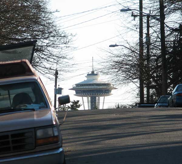
Up on Queen Anne, a glance down this street briefly gave me a start, like maybe The Day The Earth Stood Still.
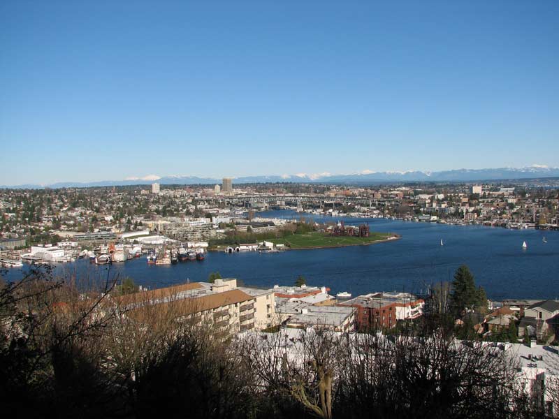
Several little parklets scattered around offer terrific panoramas. This looks northeast towards Lake Union, Gasworks Park (center, green), the University of Washington and the Cascades. All the volcanoes were distinctly visible - Mt. Baker, Glacier Peak and (below) Mt. Rainier.
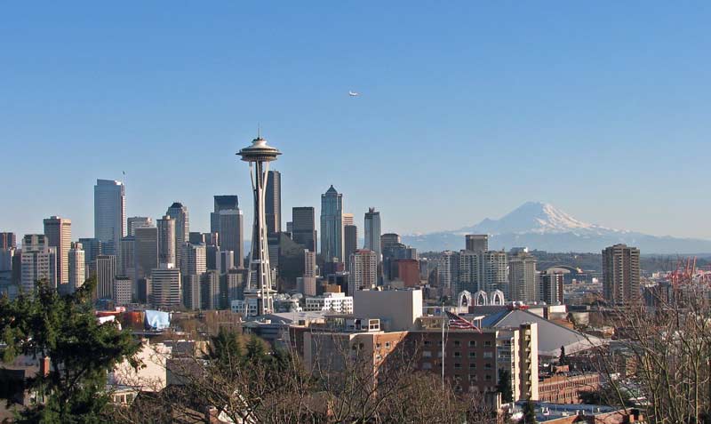
This is looking south, and is pretty much the view from Frasier’s apartment, no?
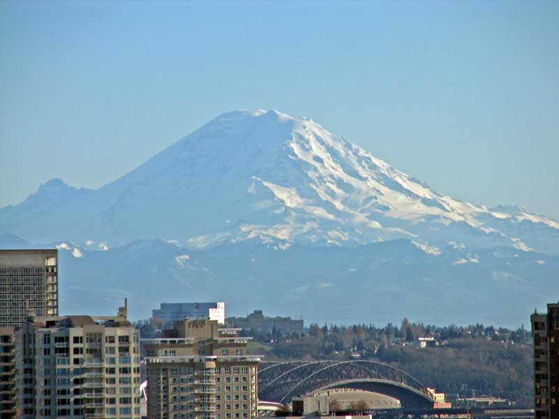
Couldn’t resist playing with the new telephoto. The roof of Safeco field is in the center foreground
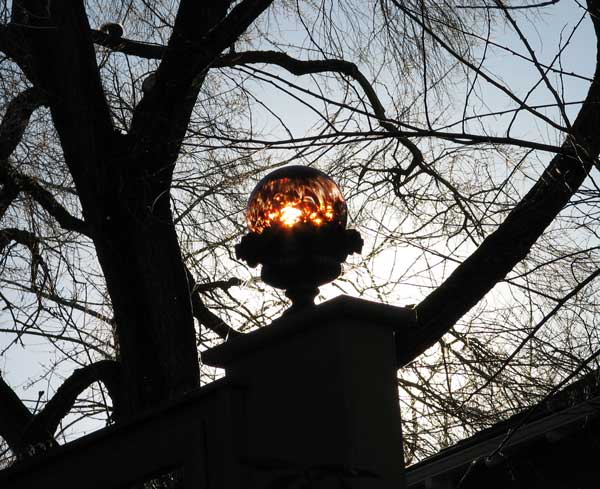
Art shot, wasting sunlight by filtering it through a glass ornament.
These photos will have to last me a week - I leave for Milwaukee again tomorrow morning.
